
Comprehensive Study
San Joaquin
River Basin


| This paper and
presentation presents the modeling that has been completed for the San
Joaquin River Basin. A similar level
of modeling has been completed for the Sacramento River Basin. |
|
| Limits of
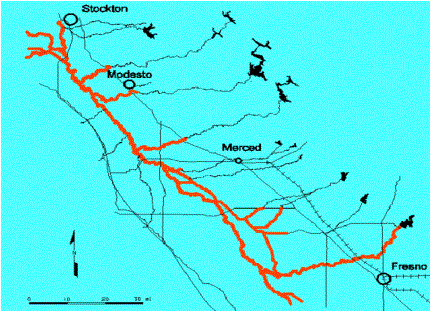
model: San Joaquin River from Fresno
to Stockton (Delta), major tributaries, distributaries, and bypass channels. |
|
| Identify flow
direction |
|
| Point out
Stanislaus, Tuolomne, and Merced |
|
| Information: |
|
| Basin Area of
about 34,960 square km (13,500 square miles) |
|
| 415 miles of
channels |
|
| 121 bridges or
other major structures |
|
| Existing flood
control facilities consist of a complicated, interconnected series of
natural, semi-modified, and constucted channels, with and without levees. |